
With all this international travel, my home country was getting jealous and my pocketbook was running on fumes so I structured a week’s vacation and headed down to West Virginia.

I have spent a fair amount of time in WV, but mostly on the West side of the state for rafting. WV is a beautiful state that not many people appreciate because they think it is full of hicks and inbreds, which is fine with me (the misconception, not the inbreeding).
I planned to hit 3 spots on the East side of the state in the Monongahela National Forest: Dolly Sods, Seneca Rocks and Harpers Ferry. The itinerary also included a hike in Shenandoah National Park up Old Rag Top, but that did not materialize. Here is a link to my rough Plan
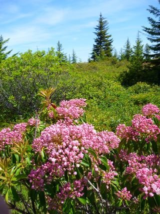
My first stop was Dolly Sods. It has always been highly recommended as one of the top hikes in the state with many trails dominated by highland meadows. Here is the Trail Description. I arrived at the trail head around 11:00pm and since it was an open area on top of a hill the wind was whipping and I opted for sleeping in the car.
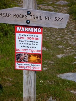
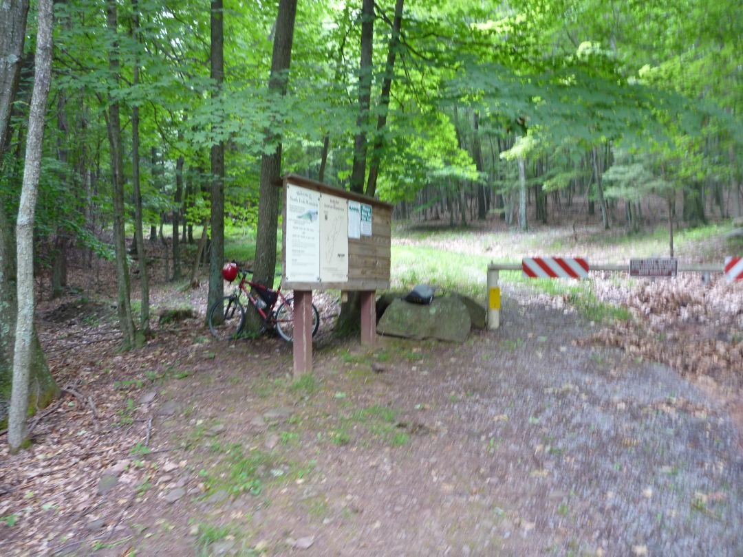
The next morning I set out about 7am. Here is the sign I saw at the trailhead. Nothing like adding a little unexpected challenge to a seemingly innocent hike.
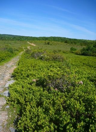
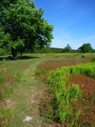
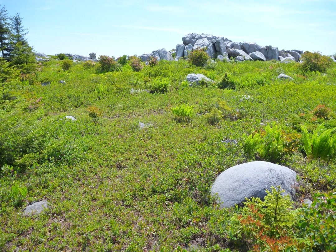
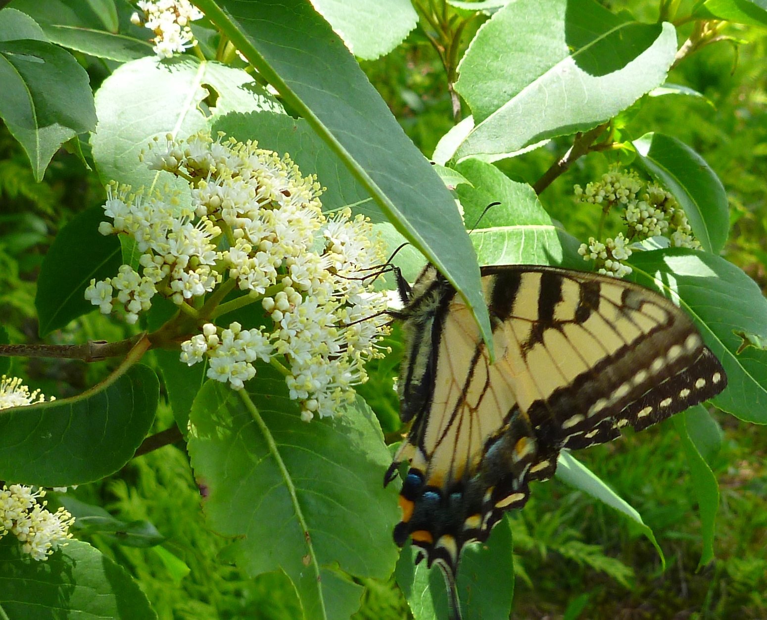
I wandered through meadows for a while, ducking into a brief patch or two of tress.
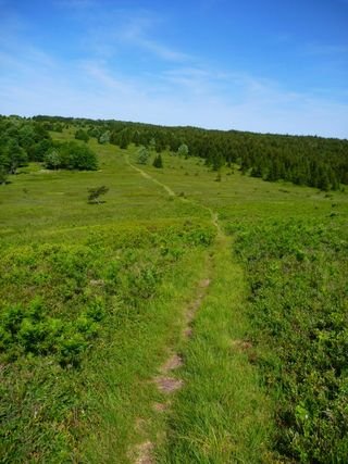
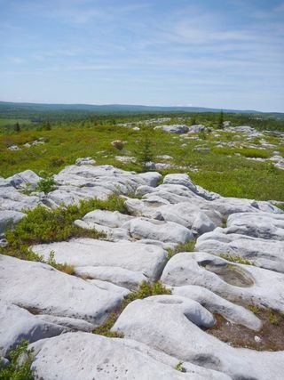
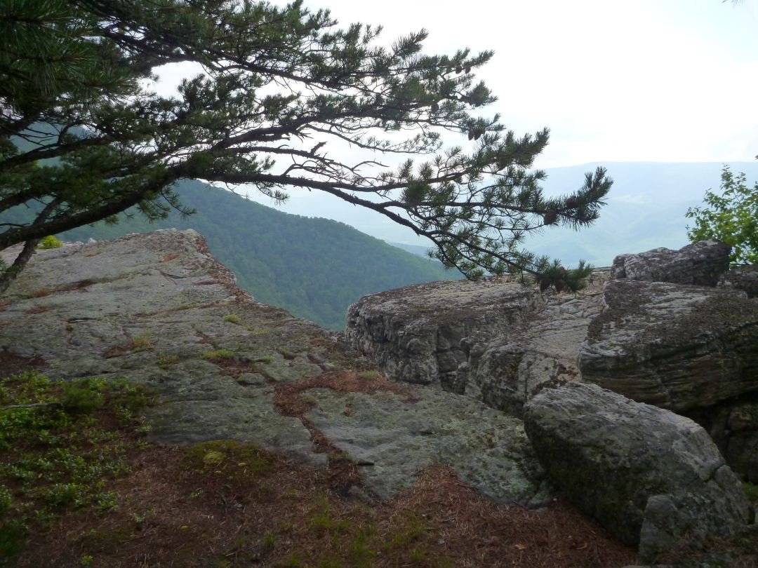
I had a short ascent onto the largest hill in the area and was confronted with this boulder field
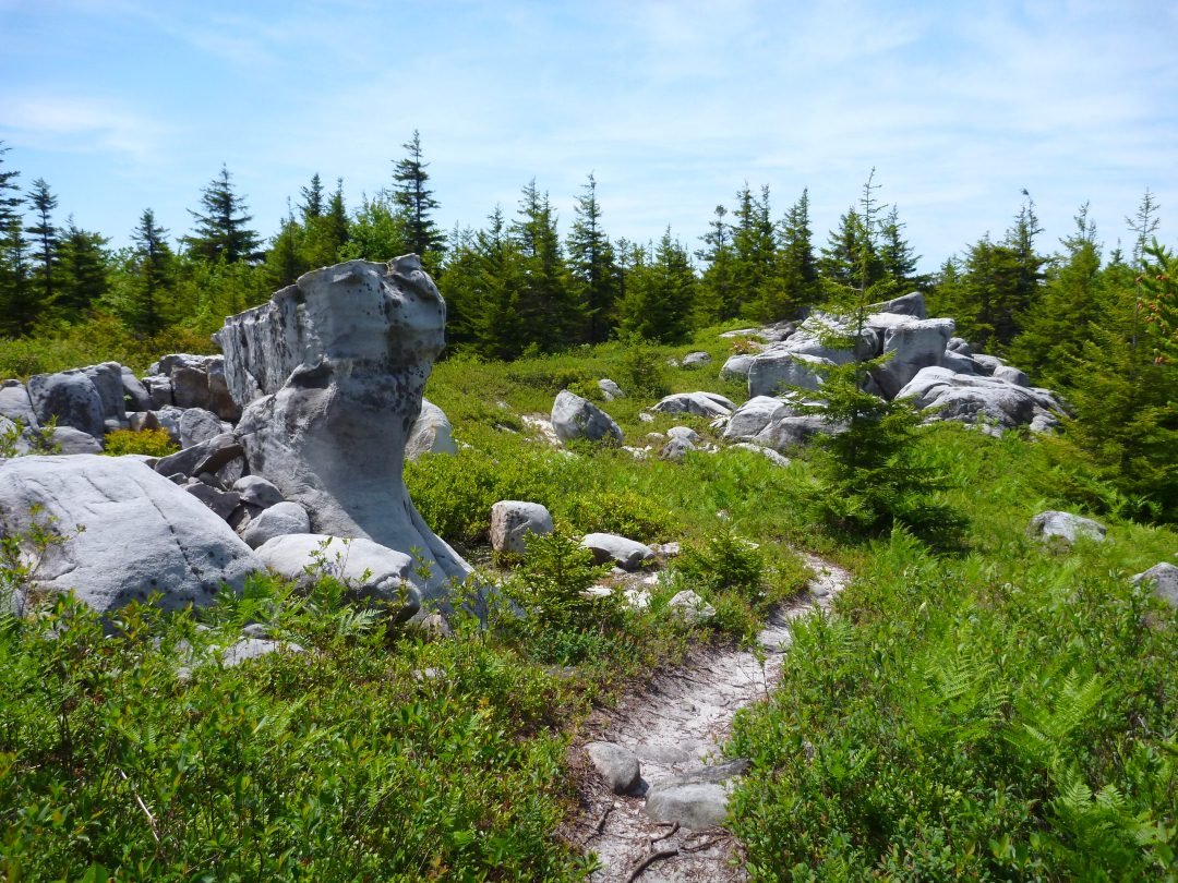
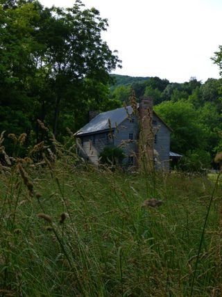
After losing the trail a few times as I traversed the rocks, I made my way back down into the boggy area. I passed 2 tents, the only sign of civilization on the trek. I later ran into their owners and found they were hiking the area for 7 days. Personally I cannot spend more than a few hours in a spot without needing a new form of stimulation but to each his own.
Before finishing up my 9 mile loop I ran into this monster
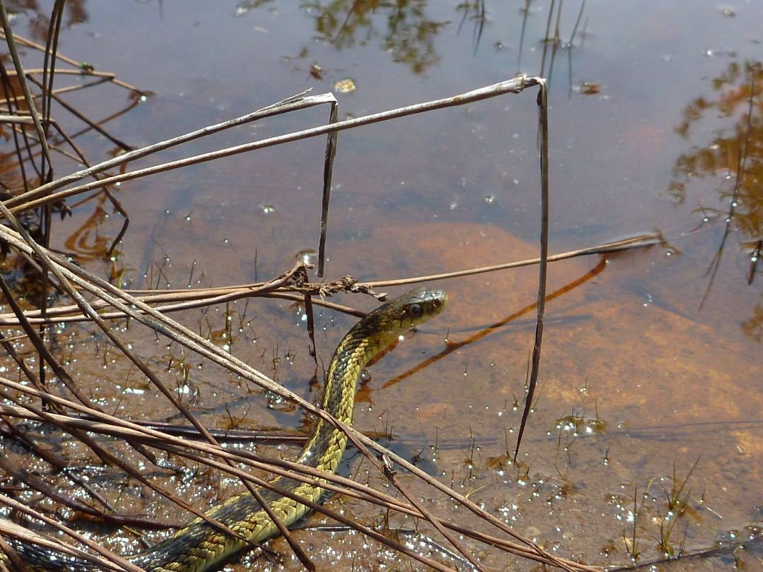
Because you can’t gauge scale in this picture, those are tree trunks, not twigs. He actually stretched 45 ft head to tail.
I was back to the car by noon and road over to Seneca Rocks (15 minute drive). I scouted out my trail for the next day and headed to the Seneca Shadows Campground. $19 was a bit steep for a campsite, but I did not feel like hunting around for a place on the cheap (free).
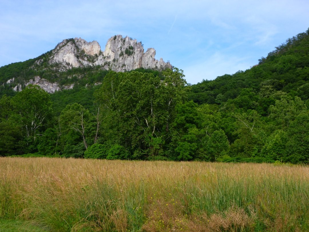
After setting up camp, I drove over to the rock formation. It is a favorite of climbers. I proved in a recent trip to Colombia that I am no climber so I planned on hiking a trail up to the top.
When I got to the trailhead I saw this sign
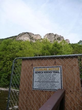
It explains that the trail is closed for repairs. That’s like having me drive to Florida for family vacation and having a sign saying that the state is closed.
I jumped the fence and off I went
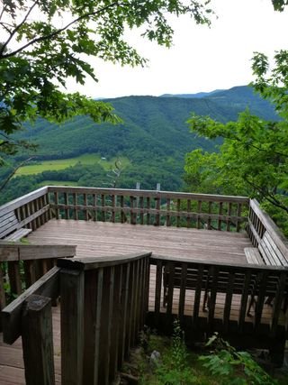
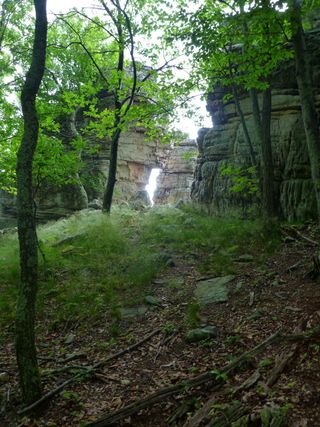
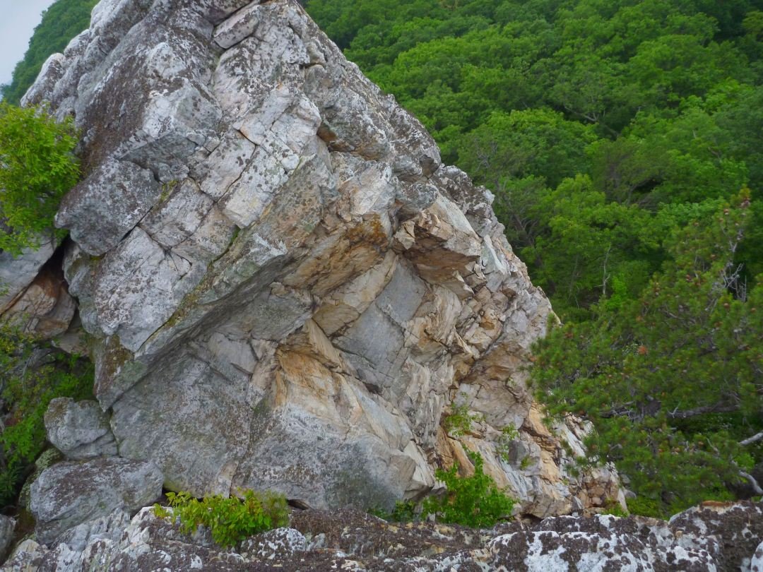
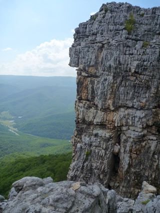
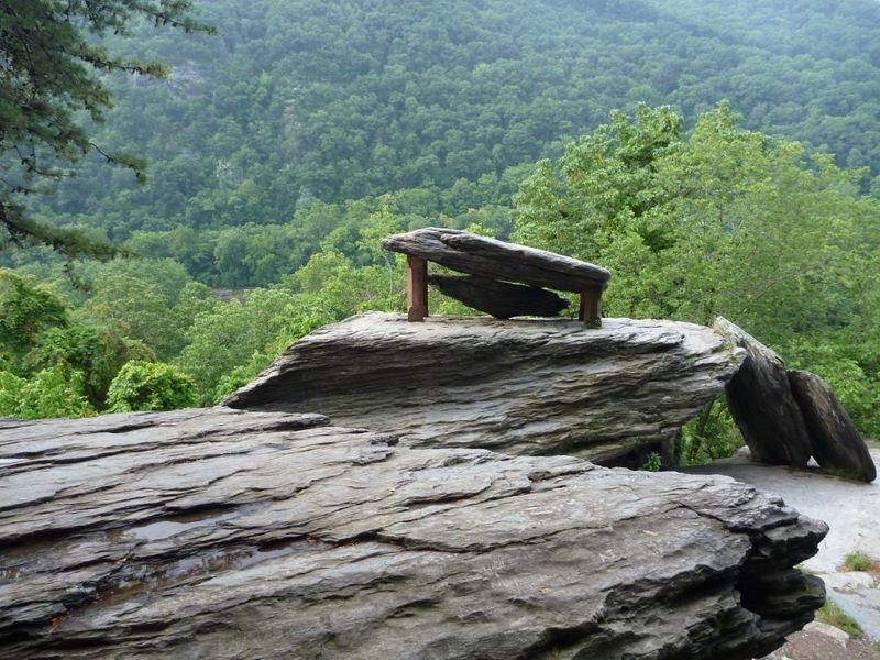
I reached the top after 1.5 mile switchback trail and found this observation platform. The problem being that I was not really at the top. I looked up and to the left and saw another sign
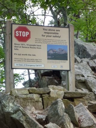
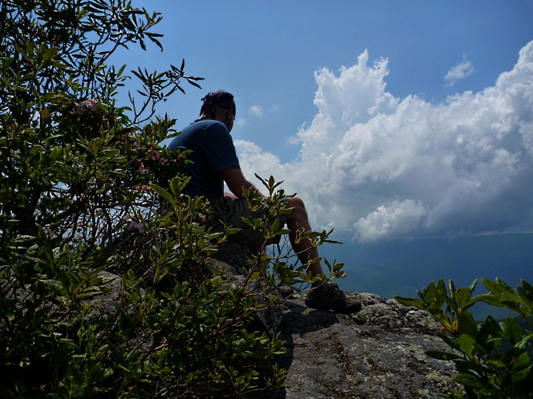
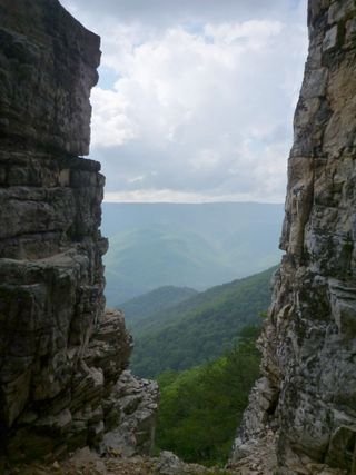
This describes the danger in going any farther and the number of people falling to their death. I passed it and made my way onto the spine of the rock
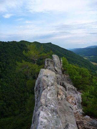
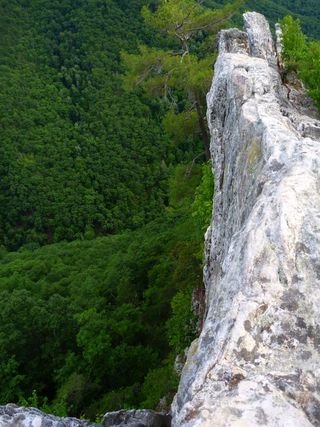
You can see from the pictures above that the rock is only about 4 ft across at this point. I sat there for a bit then made my way back down. My plan was to watch the sunset but I was not able to sit still for the required 2 hours.

I made my way back to camp and gathered some wood and built a bonfire. It was only going for 5 minutes before the ranger came over and told me to put it out if I could not keep it under control. I thought it was under control, but I guess we had different definitions.
I was asleep early and slept until 10:00am, not wanting to emerge into the thunderstorm that morning brought.
Eventually I gathered my stuff and made my way to the North Fork Trial. I was leaving my car here at the end and then riding about 8 miles back up the road to enter the trail at a place called the Redman Trail
Here is my Trail Description
The only problem was that the road for my bike ride was made up of hills and valleys, with an equal amount going each way so it mattered not where I started my trek. I admit that I got off the bike twice and had to walk up some hills. By the time I got done with the bike section of the race I was exhausted and the last thing I wanted to do was have a 2 mile uphill hike.
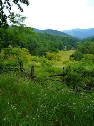
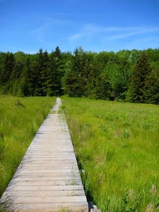
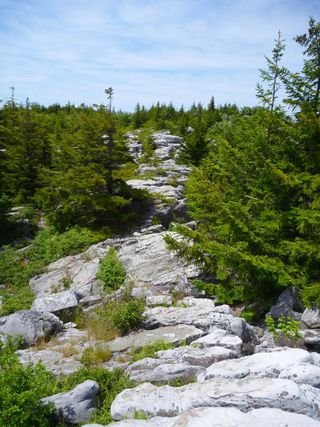
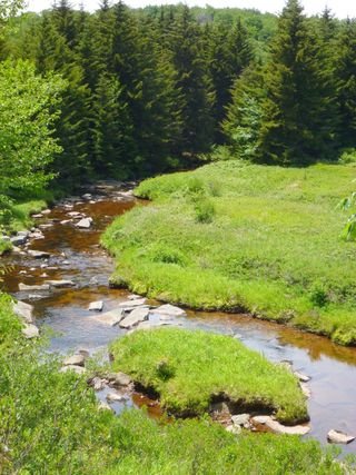
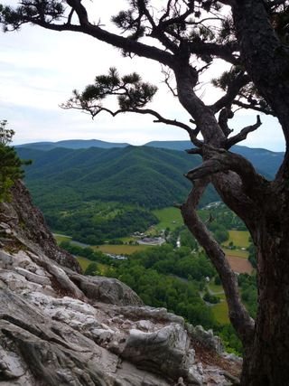
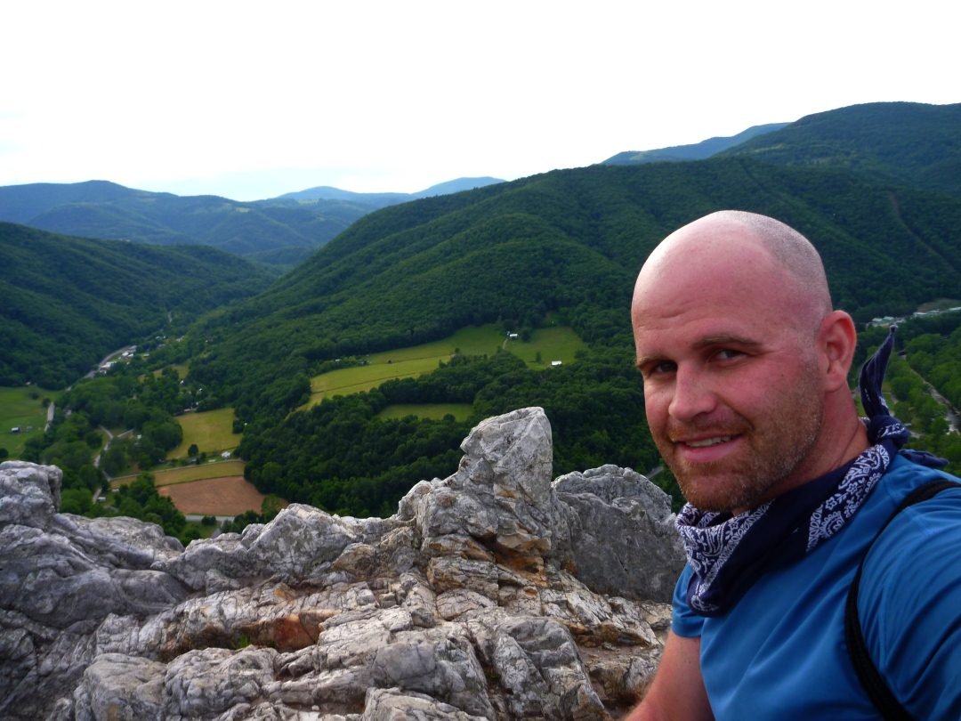
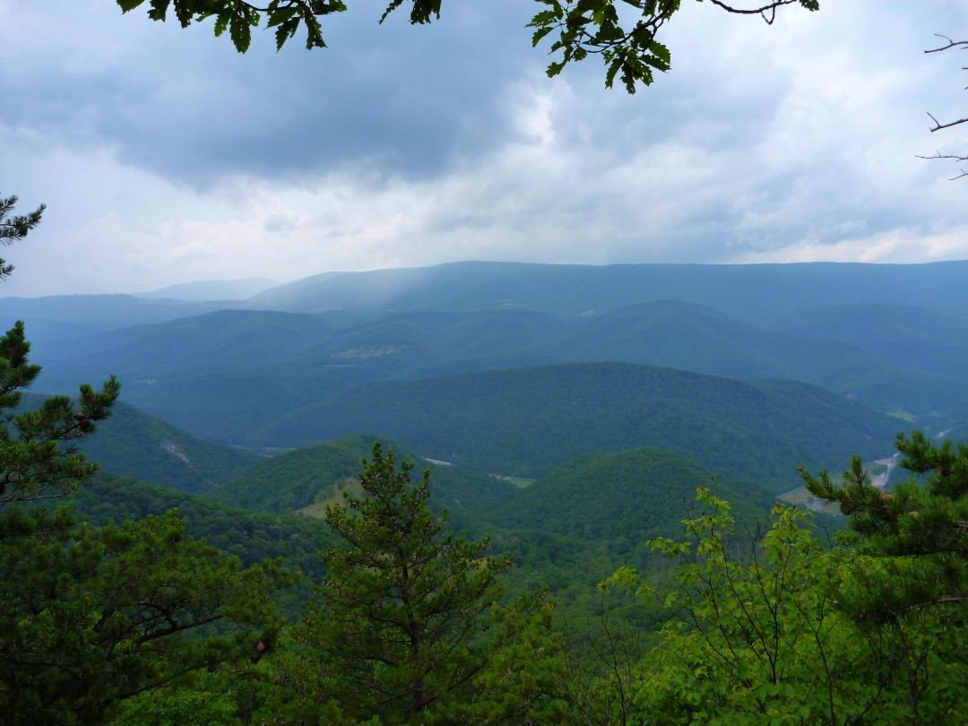
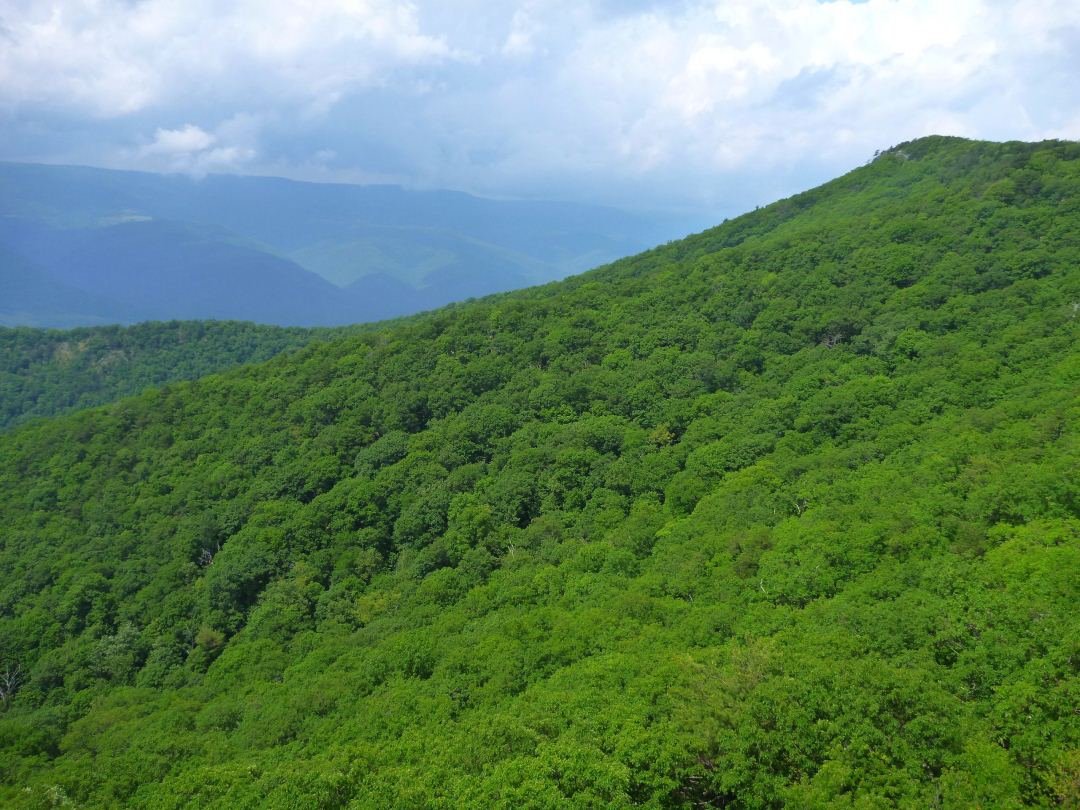
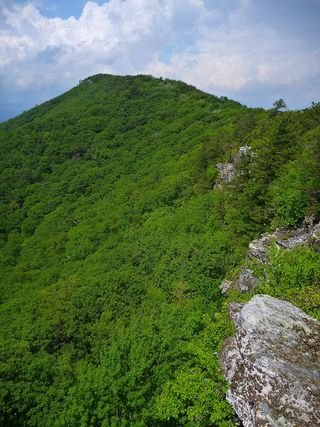
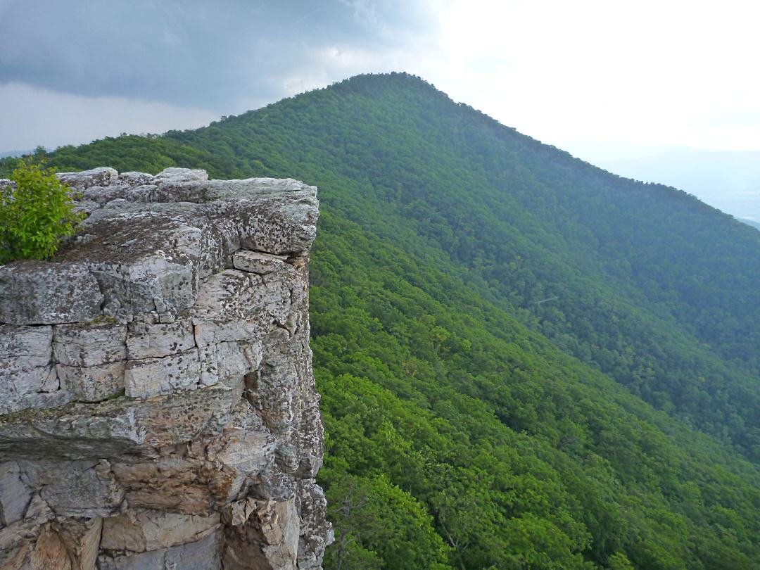
Here are some shots of the valley when I reached the top of the trail, which is followed by a hike along the spine of the mountain.
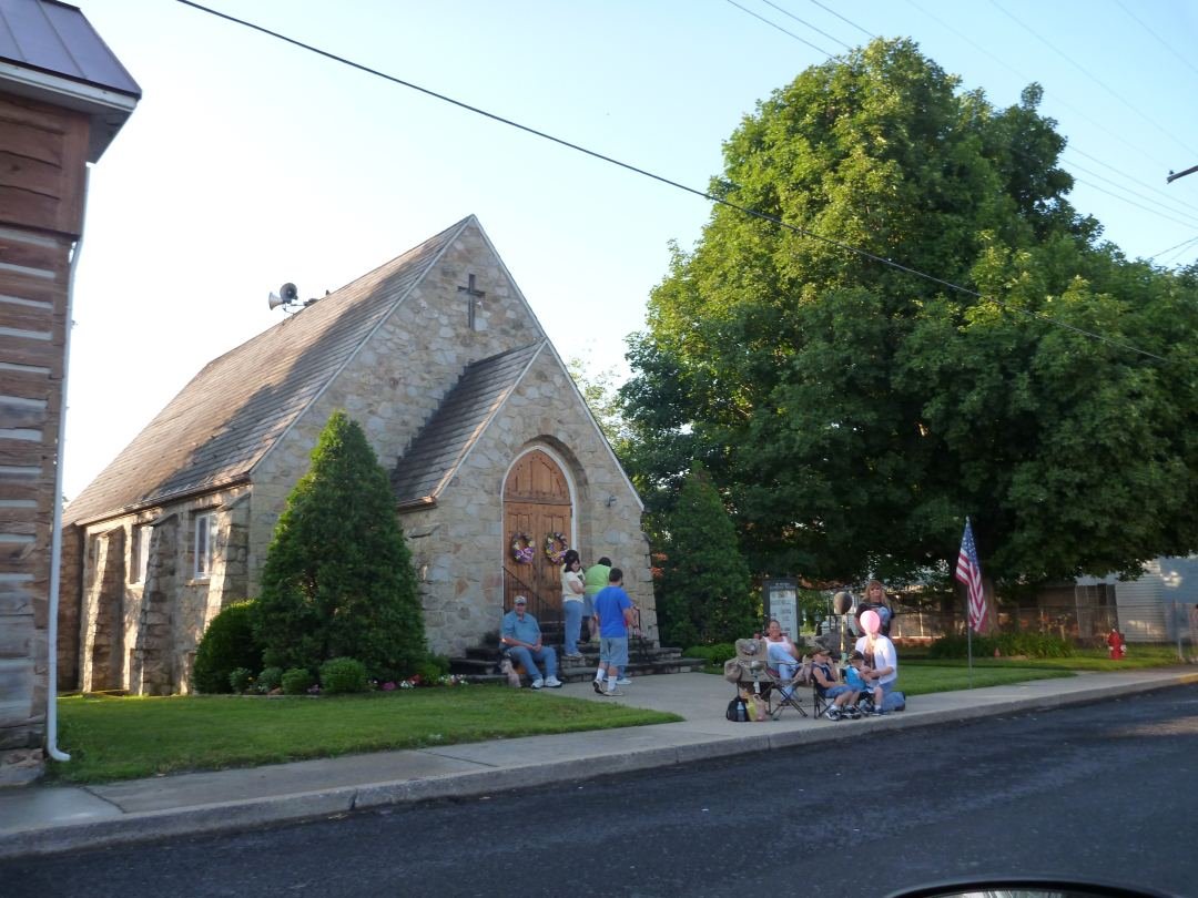
Once I finished it was around 6pm and I was racing to make it the last 2 hours to Harpers Ferry before dark. I got stuck in the below small town, bringing up the rear of a parade. I did my best to join in by waving and throwing Clif bars at the children.
I got to Harpers Ferry in the dark and stopped at a bar for dinner. I then parked in a Quality Inn parking lot for the night so I could partake in the complimentary breakfast in the morning.
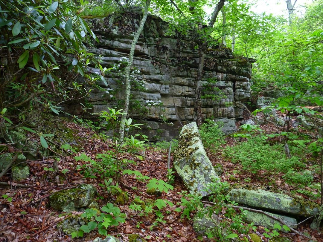
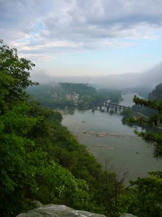
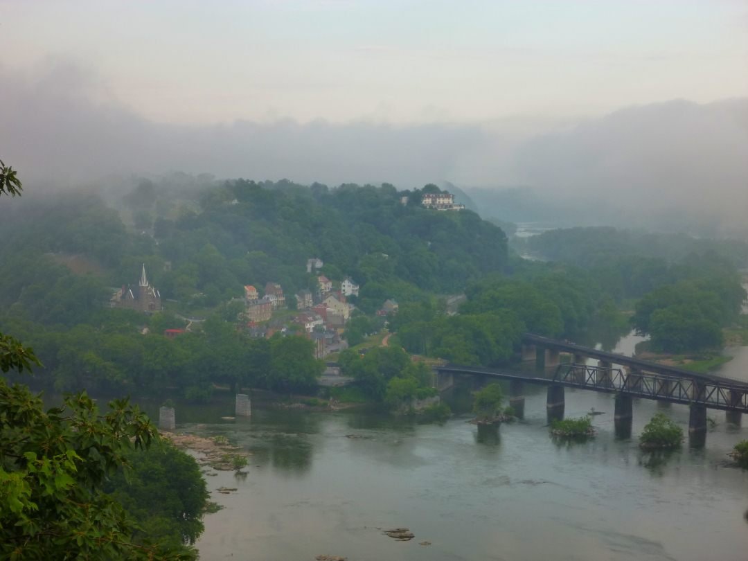
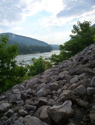
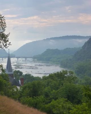
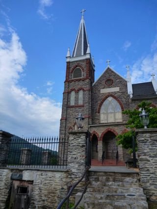
Here is the trail description for today’s hike. Download Map) It was a little tough to find the trailhead as I walked along the expressway, but soon enough I was back on the climb. Always climbing. Here are some shots of Harpers Ferry from a distance
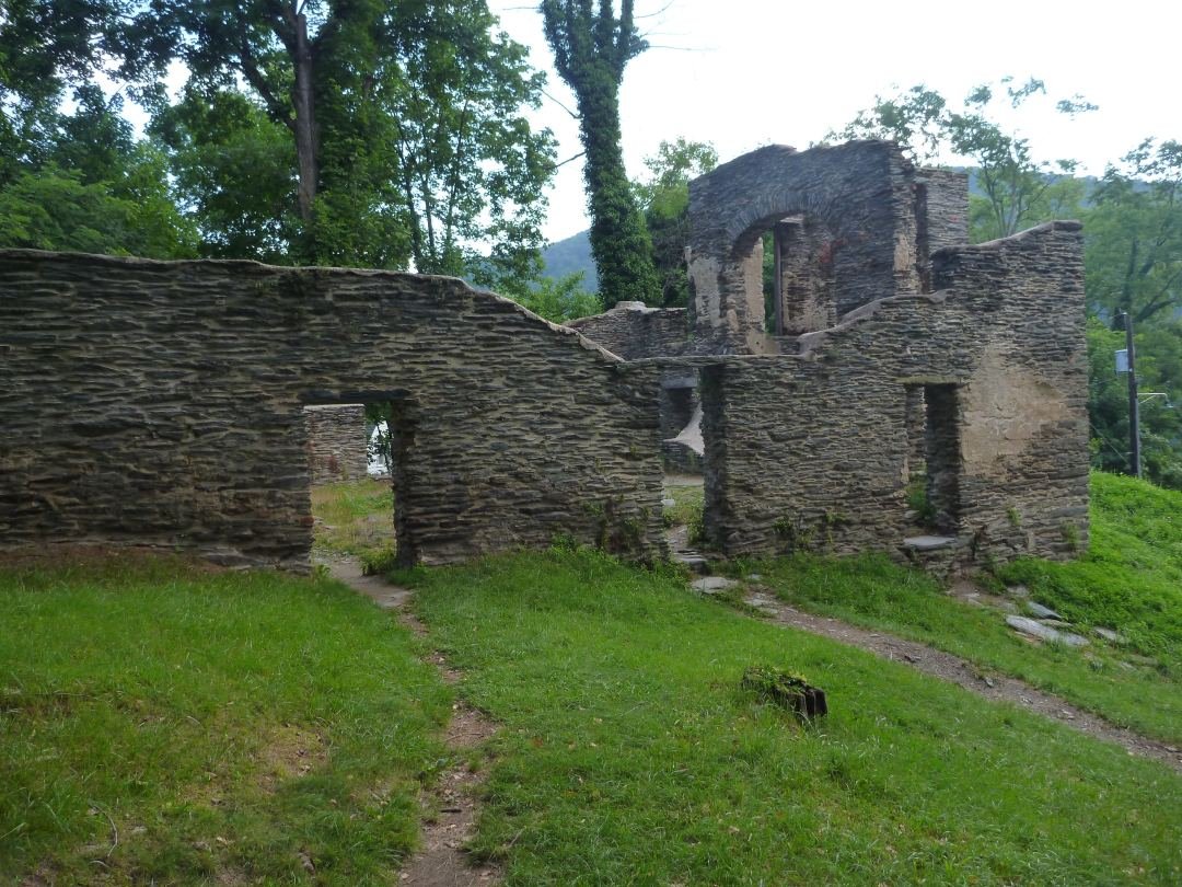
After a few miles on the Appalachian Trail, I emerged onto a bridge and made my way into the tourist trap of a town
This is called Jefferson Rock because TJ came here in the late 1700s and stood here. They put those pillars up in the 1800s to prevent the rock from rolling down the hill into the town below.

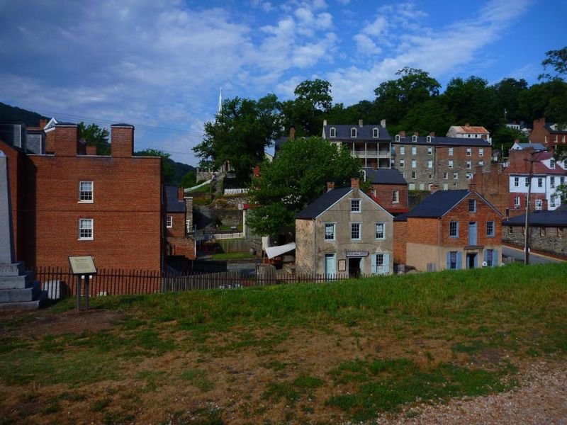
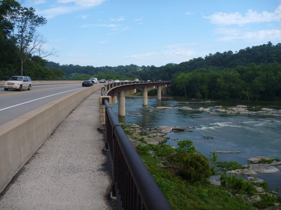
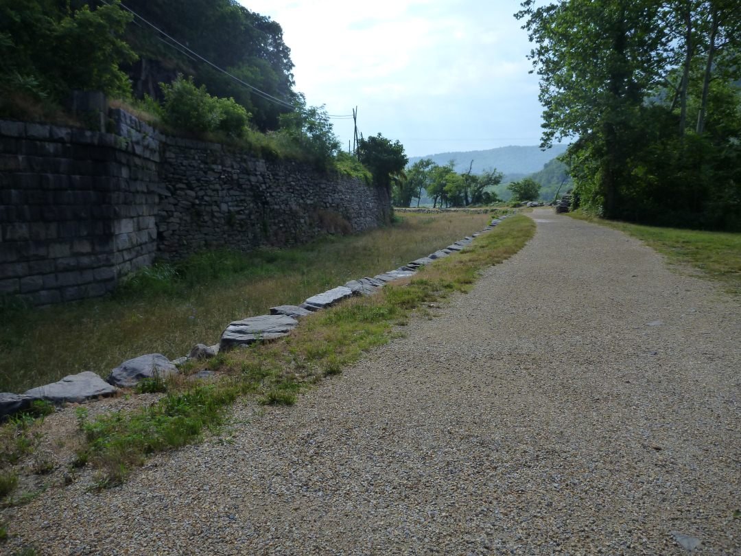
I walked through the town, but everything was closed as it was only 9am at this point. I crossed a bridge and followed this path to the bridge on HWY 603 to my car.
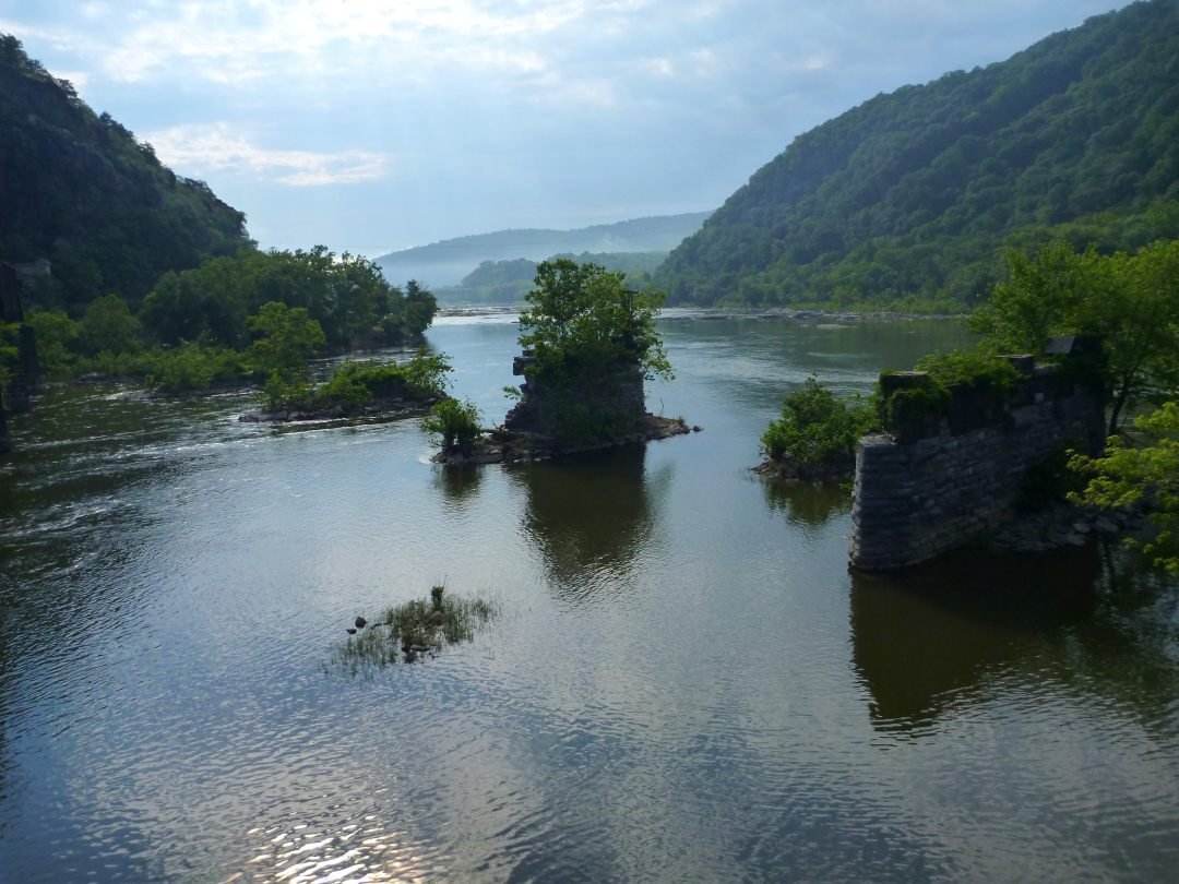
I was very fortunate. There was a car accident on the bridge which allowed me to walk across it. The bridge was under construction and the pedestrian walkway was torn up. If the accident had not of been there I was either going to redo the 6 mile hike in reverse or swim the river, which was clipping along pretty good with the recent rain storms.
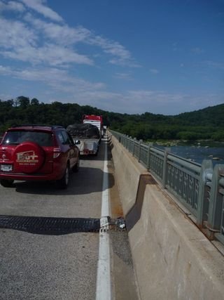
I got back to the car, and there was a traffic jam. I smelled horrible and I wanted to shower at my car but I was parked along the road with cars sitting 2 ft from me. I decided I did not care and removed my clothes and washed up along the freeway. It was a bit awkward, but oh well.
After I was cleaned up I headed to DC for a couple days of relaxation with a friend from college.
Until Next Time,
Darren
« This is Not Your Father's Colombia (Day 10 of 10) | Main | “Stop That Train I Wanna Get Off” (Day 1 of 8) »


2 Comments
David Deland
September 23, 20119:52 am
“Take me home…country road….” Haha, now I know why John Denver made a song about West Virginia. That’s just beautiful beyond words. You can reach the Mason-Dixon line and it will still feel like you’re in paradise. It’s just pure joy.
David Deland
September 23, 20119:52 am
“Take me home…country road….” Haha, now I know why John Denver made a song about West Virginia. That’s just beautiful beyond words. You can reach the Mason-Dixon line and it will still feel like you’re in paradise. It’s just pure joy.